The Lake District has a reputation problem. Say you are going walking here and people assume you mean a big day on the fells: a 900-metre summit, a scramble, a route that needs three maps and a head for exposure. You do not have to do any of that to have a genuinely good day out. Some of the finest walking in Cumbria happens well below the 200-metre contour, on valley floors, along lakeshores and through oak woods, and it serves up views that put plenty of summits to shame.
This guide is for anyone who wants the scenery without the route-finding stress. First-time walkers, families with children old enough to carry their own sandwiches, people coming back from injury, anyone visiting in November when the cloud sits low and refuses to lift. All of it works at low level.
Low level does not mean flat, and it certainly does not mean dull. It means the route stays in the valleys rather than climbing the fells around them. In practice, that usually means less than 200 metres of ascent across the whole day, paths that appear clearly on an OS Explorer map, and no exposure to drops or loose scree.
The real advantage is escape routes. On a valley walk you are rarely more than a mile from a road, a village or a bus stop. If the weather turns, someone twists an ankle, or a child runs out of enthusiasm, you can cut the day short and be back at the car within the hour. On a fell, that same decision can take half a day.
Roughly four and a half miles of mostly level path around one of the prettiest lakes in England, with the High Stile ridge towering above you the whole way. Start from Buttermere village, walk the northern shore, and expect one short section where the path tunnels through rock at the western end — you will want both hands free there. Allow two to three hours.
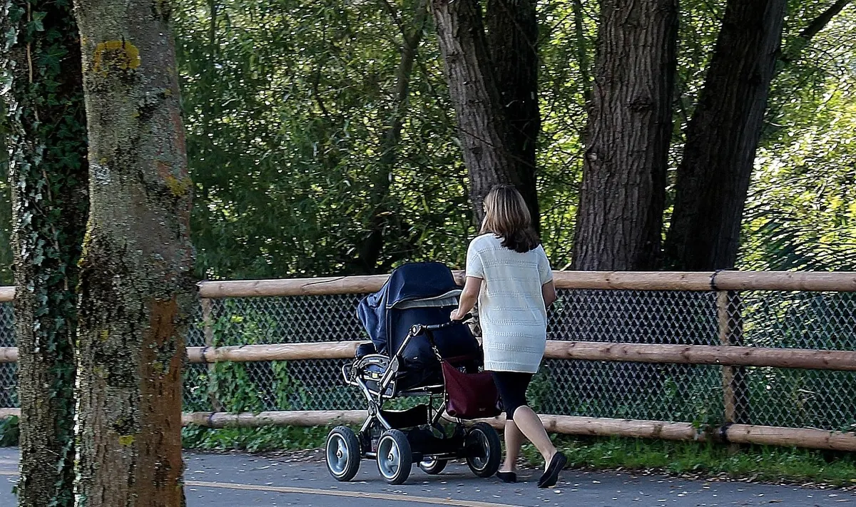
A wide, well-surfaced gravel circuit of about a mile and three quarters, with views to Coniston Old Man and the Langdale Pikes. It is one of the easiest introductions to the area and suits pushchairs in dry weather. There is a National Trust car park, and it fills quickly on summer weekends, so arrive before mid-morning.
Begin at White Moss Common and follow the shore of Rydal Water, then climb gently to Rydal village and return along the old coffin route above the road. About three miles, with Wordsworth's houses at either end. The path is clear and the views open up with every few steps.
A gentle, almost level five miles along the former Keswick to Penrith line, through two tunnels and across the River Greta. The surface is firm and the gradient barely registers. You can retrace your steps or take a bus back to Keswick, which makes it a good first taste of a longer walk.
From Skelwith Bridge, follow the River Brathay through woodland to Elterwater village, with the Langdale fells ahead of you. Around two miles each way, with a café at the start for the return leg. Muddy after rain, but never steep.
You do not need to be a map expert to walk safely at low level, but you do need to know where you are going before you set off. A few habits make all the difference:
If in doubt at a fork, remember that valley paths usually follow the water or the wall. When a route stops feeling obvious, stop and check rather than pressing on and hoping.
Lakeside paths are rarely smooth for long. Expect mud, tree roots, stone pitching, gates, stiles and boardwalks. After heavy rain, some shore paths — particularly around Derwentwater and Buttermere — flood in places, and you may need to divert above the waterline or turn back. That is normal, not a sign you have gone wrong.
Waterproof boots with proper grip are worth more here than anywhere on a dry fell. Ankle support matters when the path is a rutted mess of roots.
Tell someone where you are going and when you expect to be back. Check the mountain weather forecast before you leave, and be willing to change your plan if the valley fog has settled in.
If you have a heart condition, joint problems or you are recovering from illness, speak to a GP before planning anything longer than a gentle hour or two.
Photo: markus53 / Pixabay